Making a move means remembering a lot of details. In this section, you’ll find relevant information on thingsare highly important or time sensitive as you make your move to the Lehigh Valley.
WalkScore Interactive Map of the Lehigh Valley
Use this “walkable” map of the Lehigh Valley to check out different neighborhoods.
This Lehigh Valley Planning Commission map shows how the municipalities in the region are defined and classified, whether as a city/borough, suburban township, or rural
Valley Preferred Cycling Center – Home to thrilling track cycling races, this outdoor velodrome draws both world-class athletes and excited spectators in Spring and Summer.
Hawk Mountain – A premier spot for hiking and birdwatching, offering breathtaking views and a chance to see migrating raptors up close.
Grange Park – A spacious community park offering sports fields, playgrounds, splash pad, and scenic trails, ideal for family outings and outdoor fun.
SAUCON VALLEY
Saucon Rail Trail – Perfect for walking, jogging, or biking, this rail-trail blends nature with a bit of local history.
Promenade Shops – Stroll through this upscale outdoor shopping center, featuring a variety of premium stores and eateries.
Hellertown – A quaint town offering a cozy mix of small-town charm, local dining, and cave tours at Lost River Caverns.
EASTON
Crayola Experience – Immerse yourself in color and creativity with interactive exhibits that bring the Crayola world to life for all ages.
Easton Public Market – Savor fresh, local eats and shop for artisanal goods at this vibrant indoor market in the heart of downtown Easton.
Farmers Market – America’s longest-running farmers’ market offers farm-fresh produce, baked goods, and more in a lively community setting along the river.
Silk Mill – Discover art and culture in this revitalized historic area featuring galleries, studios, and easy access to the scenic Karl Steiner Arts walk.
ALLENTOWN
Downtown Allentown – There’s so much to explore and experience in downtown Allentown. Stop by the PPL Center, DaVinci Science Center, a local music and arts festival, or vibrant restaurant.
West End – With shops, restaurants and entertainment the West End Theatre District is one of the Lehigh Valley’s most charming neighborhoods.
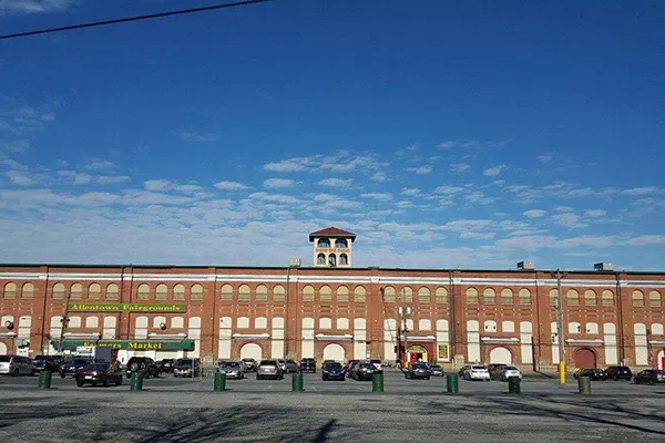
Allentown Fairgrounds Farmers Market – Not your average market! Stock up on your favorites and find just about anything you need.
DaVinci Science Center – Dive into hands-on science exhibits that spark curiosity and excitement for all ages at this family-friendly downtown Allentown destination.
CARBON COUNTY
Mauch Chunk Lake Park – Splash and play the day away. Visitors can enjoy clean, sandy beaches and beautiful woodland views. Fees apply.
POTTSVILLE
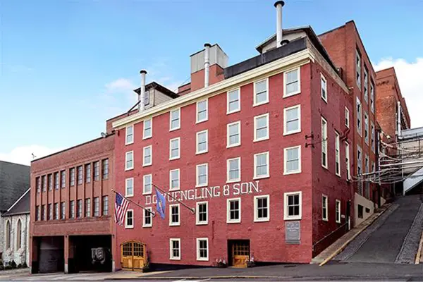
Yuengling Brewery Museum and Gift shop – Learn about the history of America’s oldest brewery and enjoy a free tour of the brewery established in 1829.
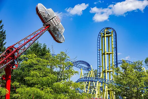
Knoebels Amusement Resort – Located in Elysburg, America’s largest free-admission amusement park has 60 rides for all ages. The park also boasts a pool, campground, and golf course.
GREATER HAZLETON
Hazleton Art League – Fosters and promotes the arts through education, exhibitions, and cultural events including an art gallery and programs like drawing, painting, photography, and pottery.
Mountain Top – A beautiful, quiet community nestled atop the Pocono mountains offers a mix of suburban and rural living.
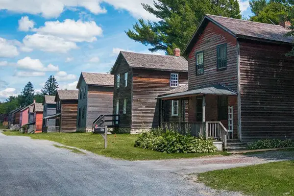
Eckley Miners’ Village – Sitting atop the world’s largest concentration of anthracite coal, visitors can explore a 19th-century company mining town and learn about the lives of families who fueled America.
HISTORIC Bethlehem
Historic Bethlehem – Step into history and luxury at this iconic hotel, offering elegant stays with a charming view of downtown Bethlehem and steps from a UNESCO World Heritage site.
Wind Creek Event Center – Enjoy top-tier entertainment, from concerts to comedy, in this modern venue nestled in the heart of Bethlehem.
D&L Trail – Hike or bike this scenic Delaware and Lehigh National Heritage Corridor trail that winds 165 miles through stunning landscapes, following a historic canal route.